Inspiring adventure with beautiful, comprehensive and waterproof map-based guidebooks.
slide show goes here
Exploring Sun Valley - A Comprehensive Guide to the Boulder, Pioneer, and Smoky Mountains: Sample Pages
Home
About Matt
Writing Books
Photography
Guiding
Books
Middle Fork Guidebook
Rogue River Guidebook
Exploring Sun Valley
Exploring the Sawtooths
Impassable Canyon
Online Store
Photo Gallery
Middle Fork Guidebook
Rogue River Guidebook
Exploring Sun Valley
Exploring the Sawtooths
Impassable Canyon
Raves & Reviews
Wall Maps
Resources
M.F. Salmon River
Rogue River
Ketchum/Sun Valley
Stanley/Sawtooth Mtns.
Guided Trips
River Expeditions
Mountain Treks
Photo Workshops
Contact
BLOG
Back to Exploring the Sawtooths
Exploring the Sawtooths - Sample Pages
Previous
Index
Next
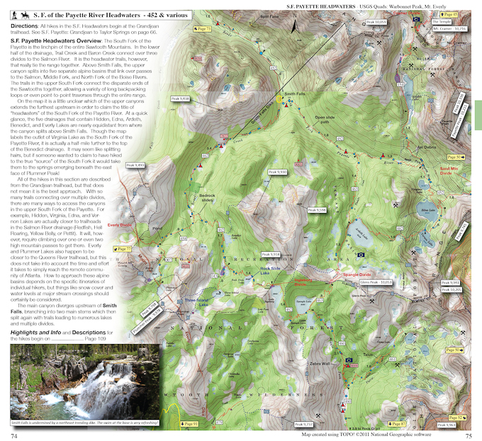
The hiking maps make up the bulk of the guidebook and are based on full-color 7.5 minute USGS topographic maps. Lots of additional information and iconography have been added to the maps. The maps cover all or part of 22 USGS sheet maps.